Skip to content
HISTORY
ARCHIVE
ART
TREASURES
MAPS
RUM
VIEWPOINTS
POETS’ CORNER
SNAPSHOTS
REELS
TALKS
TOURS
HISTORY
ARCHIVE
ART
TREASURES
MAPS
RUM
VIEWPOINTS
POETS’ CORNER
SNAPSHOTS
REELS
TALKS
TOURS
Home
\
Maps
Showing all 18 results
Default sorting
Sort by popularity
Sort by average rating
Sort by latest
Sort by price: low to high
Sort by price: high to low
250-Year-Old Map of North Shields and Preston
£
29.00
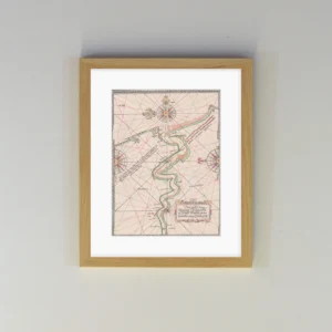
Armstrong Map (1769)
£
29.00
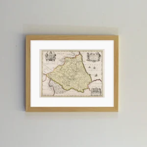
Bishopric of Durham – Joan Blaeu (1645)
£
29.00
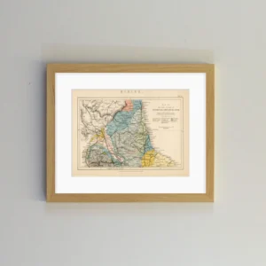
Coalfields of Northumberland, Cumberland and Durham
£
29.00
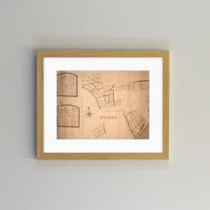
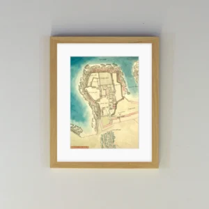
Elizabethan Tynemouth Map (1580s)
£
29.00
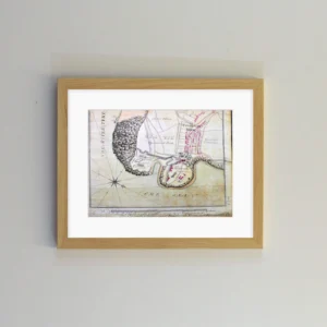
Fryer Map (1773)
£
24.00
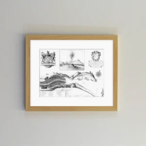
Harbour of New-Castle near Tinmouth-Barre (1672)
£
29.00
Horsley’s Map of the Roman Wall (1732)
£
29.00
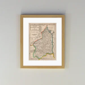
Morden Map of Northumberland (1708)
£
29.00
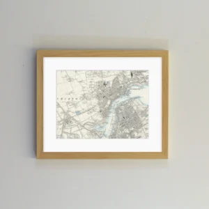
North and South Shields OS Map (1899)
£
29.00
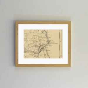
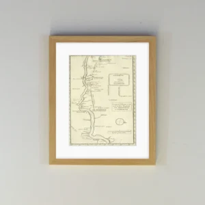
Northumberland and Durham Railway Map (1949)
£
29.00
Palatine of Durham Map (1724)
£
29.00
Ralph Gardiner Map (1655)
£
29.00
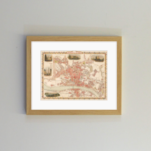
Rapkin Newcastle Map (1851)
£
29.00
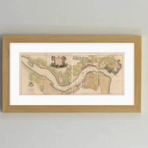
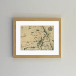
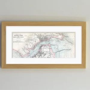
River Tyne Navigation Chart (1590s)
£
29.00
Speed’s Plan of Newe Castle (1610)
£
29.00
Surveyor General’s Map (1766)
£
29.00
Tyne Map – Framed 📜
£
24.00