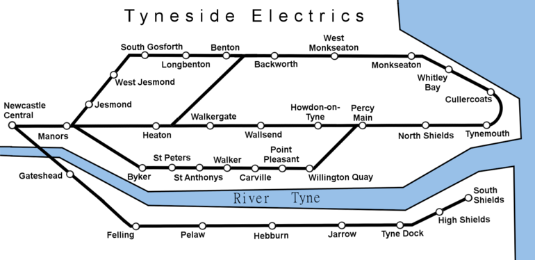
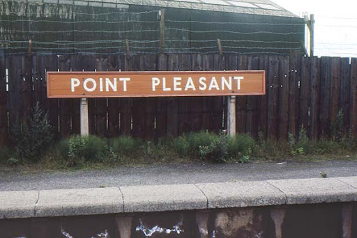
The old Riverside Branch Line, which preceded the Tyne & Wear Metro, included the station ‘Point Pleasant’ between Wallsend and Willington Quay, which is now Smulders’ Hadrian Yard. But the name is very curious, especially with it being so close to Segedunum.

This is what the archaeological theorist, Raymond Selkirk (1931-2006), wrote about the name in The Piercebridge Formula: A Dramatic New View of Roman History, p66 (1983):
“for reasons not understood, the names ‘Cold Harbour’ and ‘Mount Pleasant’ are found very frequently on Roman roads or Roman sites. On the ridge north-west of Corbridge and just south of the Roman wall at map ref NY 975 667, there is a farm called Mount Pleasant and this farmhouse stands on a mound which looks very much like the ruin of an ancient building. It is an ideal spot to be the site of a Roman signal station.”
Surely, given this context, Point Pleasant represents the site of a major Roman port on the Tyne serving the fort at Wallsend.
If a dock stood here at the confluence of the Wallsend Burn and the Tyne, then you’d presume a similar arrangement existed at North Shields Fish Quay, where the Pow Burn meets the river opposite Arbeia. While up river at both the Lort Burn (bridge site) and the Newburn Gut (navigable limit) similar docks or wharfs would have been in use.
Listen to the audio for this post here:
Never miss an article. Enter your email or give our FB page a like


No air-built castles, and no fairy bowers,
But thou, fair Tynemouth, and thy well-known towers,
Now bid th’ historic muse explore the maze
Of long past years, and tales of other days.
Pride of Northumbria!—from thy crowded port,
Where Europe’s brave commercial sons resort,
Her boasted mines send forth their sable stores,
To buy the varied wealth of distant shores.
Here the tall lighthouse, bold in spiral height,
Glads with its welcome beam the seaman’s sight.
Here, too, the firm redoubt, the rampart’s length,
The death-fraught cannon, and the bastion’s strength,
Hang frowning o’er the briny deep below,
To guard the coast against th’ invading foe.
Here health salubrious spreads her balmy wings,
And woos the sufferer to her saline springs;
And, here the antiquarian strays around
The ruin’d abbey, and its sacred ground.
Jane Harvey
From ‘The Castle of Tynemouth. A Tale’ (1806)
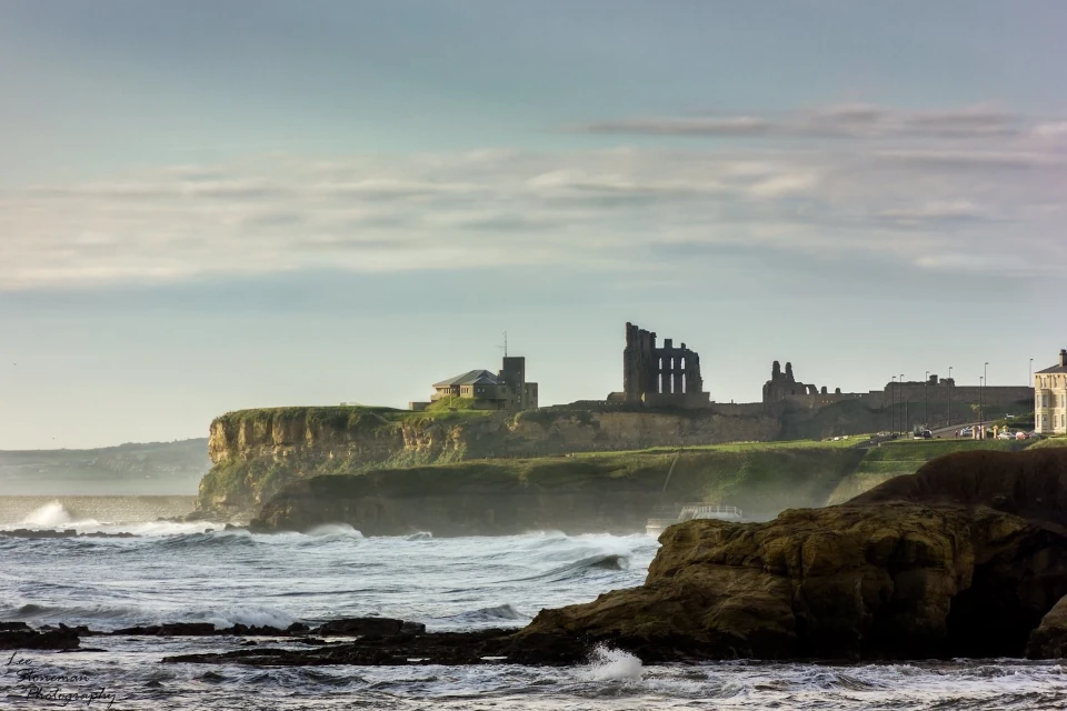
Photograph: Lee Stoneman
Photograph: Lee Stoneman
No air-built castles, and no fairy bowers,
But thou, fair Tynemouth, and thy well-known towers,
Now bid th’ historic muse explore the maze
Of long past years, and tales of other days.
Pride of Northumbria!—from thy crowded port,
Where Europe’s brave commercial sons resort,
Her boasted mines send forth their sable stores,
To buy the varied wealth of distant shores.
Here the tall lighthouse, bold in spiral height,
Glads with its welcome beam the seaman’s sight.
Here, too, the firm redoubt, the rampart’s length,
The death-fraught cannon, and the bastion’s strength,
Hang frowning o’er the briny deep below,
To guard the coast against th’ invading foe.
Here health salubrious spreads her balmy wings,
And woos the sufferer to her saline springs;
And, here the antiquarian strays around
The ruin’d abbey, and its sacred ground.
Jane Harvey
From ‘The Castle of Tynemouth. A Tale’ (1806)
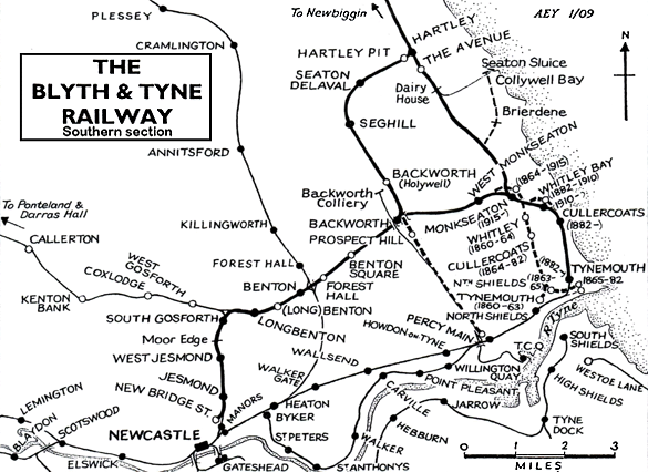
Very interesting map of collierys and stations on the rail lines
Heavy goods would not favour road transport, when the river was navigable. Transfers to smaller vessels, barges, punts, then horse drawn sledges, would haul stone, ore, ingots, and barrels of food.
Weirs like the Wear and Piercebridge, will have helped water levels, and increased distanced reached inland. Where ever roads were not yet adequate, horse drawn pallets were used into modern times, and steam beds were better than forest tracks.
We consider Chester-le-Street to have likely been a defended port/transfer base, and Durham, and possibly even Lanchester, bringing lead and silver into the trade routes.
Local knowledge of canoeing, sailing and rowing, and farm practices, suggest these probabilities. Archaeology evidence is adding to this likelihood, particularly ancient anchors found at the bridge stones at Hylton. Positive proof might be less likely than referring to common practice in the middle ages.
When sailors are caught out by bad weather, and tide changes, they make for a safe harbour.
Most likely all your suggested ports were in use, and different intensities over the centuries, plus many others yet to be identified.
Great article, many thanks.